

Key Takeaways
What Is the Pacific Coast Highway?
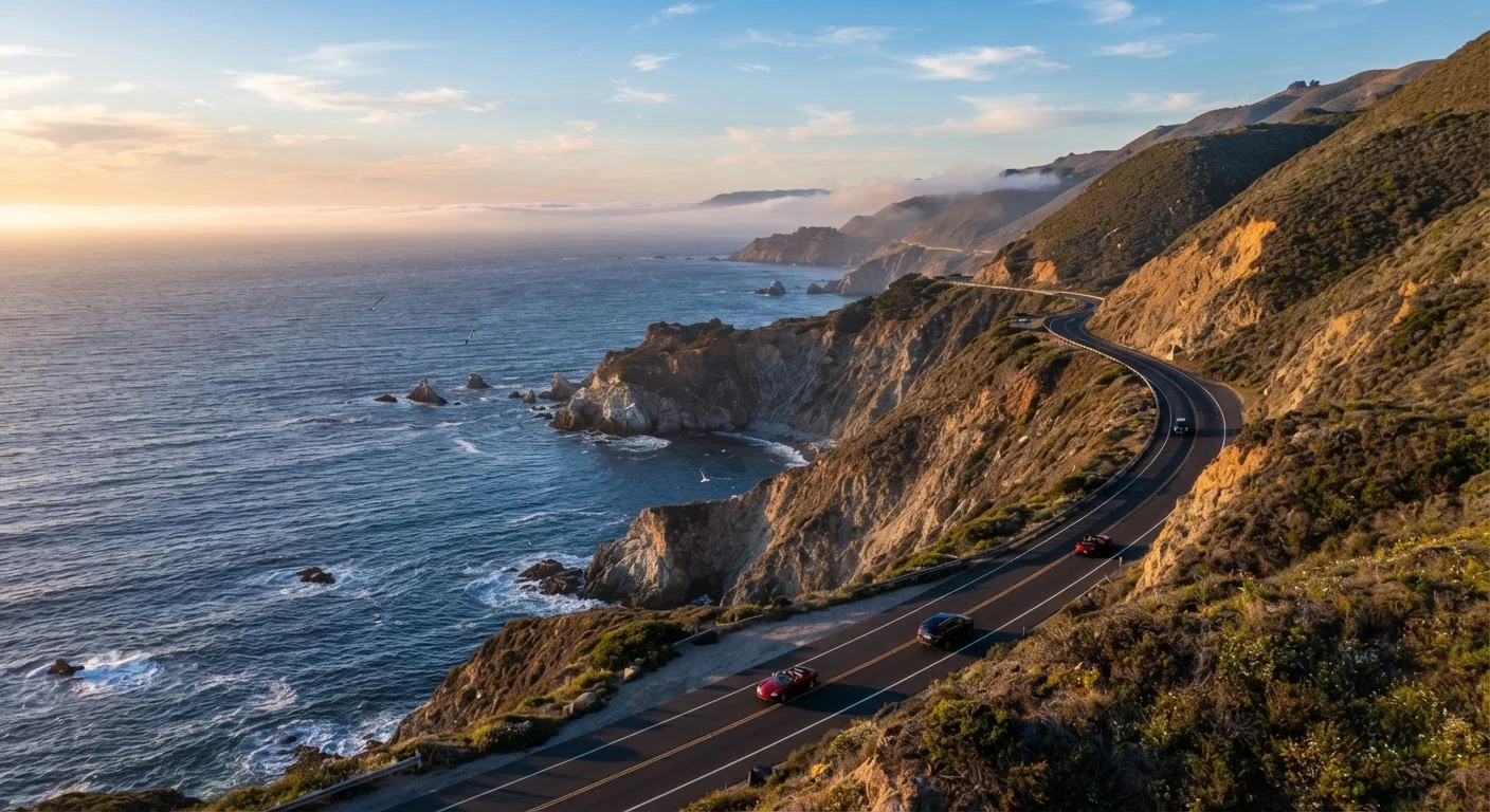
The Pacific Coast Highway - officially California State Route 1, or simply "Highway 1" - stretches roughly 655 miles along California's coastline. While the full route runs from Dana Point in the south to Leggett in the north, most travelers focus on the iconic central stretch from Los Angeles to San Francisco, passing through Santa Barbara, Big Sur, and Monterey along the way.
This is not a fast road. Highway 1 is a two-lane route carved into cliffsides, threading through small coastal towns and state parks. That's precisely the point. It's one of the most celebrated scenic drives in North America, rewarding patient drivers with views that genuinely earn the word "breathtaking." If you're building a broader trip plan, our complete trip planning guide covers how to frame an adventure like this from destination selection through packing.
Choosing Your Direction: North to South or South to North?
Most travel guides suggest driving south to north - from Los Angeles toward San Francisco - and for good reason. Heading north places your vehicle on the ocean side of the road, meaning passengers look straight out over the Pacific rather than into a cliff wall. The Big Sur views in particular are far more dramatic from this vantage point.
That said, starting in San Francisco and heading south has practical advantages: San Francisco is a major air hub, the morning fog often burns off heading south, and you'll reach the dramatic Big Sur section in the afternoon light. Either direction works - it simply depends on your start and end points.
Keep your gas tank above half at all times through Big Sur - gas stations are sparse and pricey, and some stretches have none at all for 50+ miles.
Fuel planning is one of the most commonly overlooked logistics on this route, and running low between Carmel and San Simeon is a stressful situation that's easy to avoid.
Arrive at major overlooks and trailheads before 10 a.m. - parking at places like McWay Falls fills completely by midmorning during peak season.
State park lots have limited capacity, and late arrivals during summer often must turn around or park dangerously on the roadside shoulder.
If you're connecting this trip to a broader road trip itinerary, see our guide on mapping a route you'll actually enjoy for help structuring driving days realistically.
Best Time of Year to Drive Highway 1
April through early June and September through October are widely considered the sweet spots. Crowds are manageable, wildflowers dot the hillsides in spring, and coastal fog - while never fully absent - is less persistent than in July and August.
Summer is peak season: expect heavier traffic through Big Sur and Carmel, and accommodation books out weeks in advance. Winter driving is possible but carries real risk - Highway 1, especially the Big Sur section, is vulnerable to landslides and storm damage that can close sections for weeks or even months at a time.
Big Sur Closures Can Happen Any Time
Landslides and storm damage have historically closed portions of Highway 1 for months at a time with little warning. Before committing to Big Sur as part of your itinerary, check the Caltrans QuickMap or official Caltrans alerts at dot.ca.gov. Have an alternate inland route (US-101) in mind in case a closure is in effect.
Must-Stop Highlights Along the Route
The route is dense with worthy stops. Here are some of the most celebrated:
- Malibu & Point Mugu (Southern Start): Ease into the drive with Pacific views and the rugged Santa Monica Mountains as your backdrop.
- Santa Barbara: Spanish Colonial architecture, a vibrant farmers market, and a beautiful stretch of beach. Budget a half-day.
- Morro Rock, San Luis Obispo County: A dramatic volcanic plug rising from the bay - unmistakable and worth a short walk.
- Big Sur: The centerpiece of any PCH trip. Bixby Creek Bridge, McWay Falls at Julia Pfeiffer Burns State Park, and Pfeiffer Beach are all within a short drive of each other. Plan a full day here minimum.
- 17-Mile Drive, Pebble Beach: A privately maintained scenic road through Monterey cypress groves and coastline. A modest vehicle entry fee applies.
- Carmel-by-the-Sea: A charming, walkable village with galleries, bakeries, and a white-sand beach.
- Santa Cruz: Home to a classic beachside boardwalk with a relaxed California vibe - great for stretching your legs.
For a useful contrast in scenic highway experiences, our Blue Ridge Parkway guide shows how the East Coast's signature drive compares in character and logistics.
Road Conditions, Closures, and Safety Tips
Highway 1 through Big Sur is geologically active. Landslides triggered by heavy rain have closed segments for extended periods in recent years - the 2017 Mud Creek slide took over a year to reopen. Always check the California Department of Transportation (Caltrans) highway conditions page at dot.ca.gov before and during your trip. Conditions can change quickly.
Beyond closures, the road itself demands attention: sharp switchbacks, narrow shoulders, slow-moving RVs, and sudden patches of coastal fog all require alert driving. Pull over at designated turnouts - not on the road's edge - to take photos. Cell service is essentially nonexistent through much of Big Sur, so download offline maps on Google Maps or a similar app before you leave.
Before any long drive like this, run through our driver's safety walkthrough to make sure your vehicle is ready for winding, sometimes isolated roads. And don't underpack - our road trip packing checklist covers the easy-to-miss essentials.
Never Stop in Active Traffic Lanes for Photos
Stopping in a travel lane - even briefly for a photo - is illegal and genuinely dangerous on Highway 1's narrow, curving sections. Always use designated turnouts and pull completely off the road before stopping. California law also prohibits stopping on bridges, which rules out the roadway at Bixby Creek Bridge itself.
Planning Your Itinerary and Budget
A comfortable LA-to-SF drive along Highway 1 takes three to five days for most travelers. Five days lets you linger - hiking in Big Sur, exploring Carmel, watching a sunset from a seaside bluff without a schedule at your back. Three days is doable but means fewer stops and more driving.
Accommodation ranges from state park campgrounds (reservations through ReserveCalifornia fill quickly, especially in summer) to motels in towns like San Simeon or Cambria to upscale inns in Carmel. Booking well in advance is essential for summer travel. Gas costs run higher than the California average in remote stretches, so fill up in larger towns rather than waiting for small-town stations.
655 miles
Total length of California's Highway 1
Highway 1 runs the length of the California coast, though the classic PCH drive focuses on roughly 400 miles between LA and San Francisco.
3-5 days
Recommended driving time, LA to San Francisco
Travel experts and California state tourism resources consistently suggest a minimum of three days; five allows meaningful exploration at key stops.
~280 miles
Length of the Big Sur coastline section
The Big Sur coast, from Carmel to San Simeon, is the most dramatic and logistically challenging portion of the route.
Food and fuel in Big Sur itself carries a significant premium - build that into your daily budget. The Pacific Coast Highway rewards those who plan thoughtfully and drive unhurriedly. It is, at its best, the opposite of a commute.