

Key Takeaways
Why the Blue Ridge Parkway Deserves a Dedicated Trip
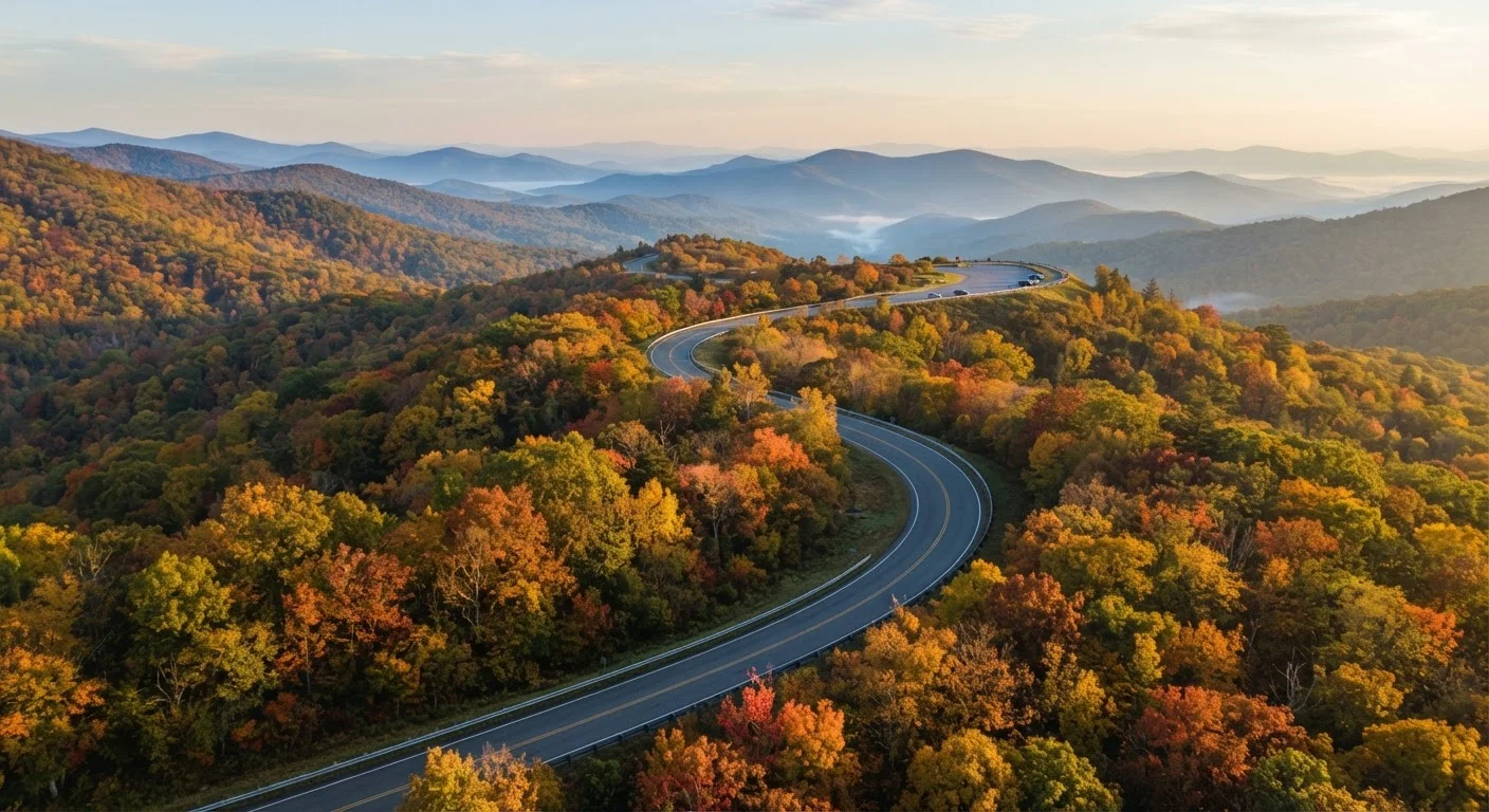
Stretching 469 miles from Shenandoah National Park in Virginia to Great Smoky Mountains National Park in North Carolina, the Blue Ridge Parkway is one of America's most celebrated scenic drives. Unlike an interstate, it was designed entirely for pleasure - no commercial trucks, no billboards, no traffic lights. That intentional design means the experience rewards a different mindset: slower, more deliberate, genuinely present.
For everyday travelers, this route offers something rare - serious natural beauty without international airfare or a complex itinerary. Whether you're planning a weekend loop or a full week-long journey, the Parkway can anchor an unforgettable trip. See our trip planning hub for strategies on building the structure around any getaway like this one.
Plan Your Timing and Manage Expectations
The Parkway's 45 mph speed limit isn't a suggestion - it's the spirit of the road. Factor in frequent stops at overlooks, trail heads, and visitor centers, and a 100-mile stretch can easily fill half a day. If you're mapping out your itinerary, our guide to building a road trip route walks through how to balance drive time with the detours that actually make memories.
Seasonal realities matter. Fall foliage (typically mid-October in Virginia, late October further south) draws enormous crowds. Spring wildflowers and summer greenery offer a quieter experience. Winter closures - especially above 4,000 feet - are common and sometimes extend into April. Before any trip, check the National Park Service's official Blue Ridge Parkway road closure map, which is updated regularly.
No Entrance Fee, But Verify Before You Go
The Blue Ridge Parkway itself does not charge an entrance fee, which makes it unusually accessible for budget-conscious travelers. However, activities connected to it - such as camping in Parkway campgrounds or visiting certain adjacent attractions - may have fees. If your trip touches Shenandoah or Great Smoky Mountains National Parks at either end, those parks have separate entrance fee structures. Always verify current policies on the official NPS website before your trip, as fee structures can change.
Practical Driving Tips for the Road Itself
The Parkway is in excellent condition along most segments, but it has its quirks. Tunnels - there are 26 of them - require headlights. Some are narrow enough that drivers approaching from opposite directions must yield. Tight curves and elevation changes mean brakes work harder than on flat highways; if you're pulling a trailer or driving a heavily loaded vehicle, account for that in your planning.
Before you leave home, do a full vehicle check. Our pre-trip safety walkthrough covers tires, fluids, lights, and emergency gear - all especially relevant on a route where roadside assistance can take time to arrive.
Download offline maps and the NPS app before you leave cell coverage.
Signal disappears for long stretches across the Parkway, particularly in North Carolina's southern sections. Without offline navigation, it's easy to miss key turnoffs or misjudge distances to the next fuel stop.
Fill your gas tank whenever you exit the Parkway, not when the gauge hits half.
Gas stations are not available on the Parkway itself, and gaps between exit towns with fuel can span 40-60 miles. Running low on a mountain road with no cell signal is a stressful situation that's entirely avoidable.
Arrive at major overlooks early in the morning or after late afternoon.
Parking at popular spots like Craggy Gardens or Waterrock Knob is genuinely limited. On fall weekends especially, lots fill before 10 a.m. and stay full until dusk. Chasing sunrise or late golden hour also produces far better photography conditions.
Build buffer days into your itinerary to absorb closures and weather.
Fog, ice, and maintenance closures can shut down segments with little notice. A rigid schedule leaves you scrambling; a day of flexibility turns an unexpected closure into a chance to explore a nearby town or trail instead.
Pack layers regardless of the season.
Elevation changes along the Parkway can create temperature swings of 15-20°F between valley towns and ridge-top overlooks. Summer hikers are frequently caught underprepared at 5,000-foot summits.
Quick Wins: Get More Out of Your First Day
Even seasoned road trippers underestimate how much small preparation decisions affect the experience on the Parkway. These actions take minutes at home but pay dividends on the road.
For a full packing checklist tailored to multi-day drives, see our guide to road trip essentials you're likely to forget. And if you're curious how the Parkway compares to the country's other iconic coastal drive, our Pacific Coast Highway guide offers useful contrast.